Hi everyone,
Last night we sailed the 86nm NNW from Matthew Town to Jamaica Bay (also known as Datum Bay). The passage started with an hour's motoring to get out of Great Inagua Island's lee. Then we found the ENE breeze and were away. We had a fast beam reach in 16-18 knots, gusting to 24 knots. After rounding Castle Island we were close hauled for an hour before motoring into the anchorage.
 |
| Last night's sunset |
Here are the usual plots..
 |
| Overall Track |
 |
| Arrival Track |
 |
| Graphs |
Here are the vital statistics...
- Distances/Speeds
- Route Distance = 86nm
- Log Distance = 96nm (probably over-reading)
- Track Distance = 87nm
- Duration = 15 hours
- Average boat speed = 6.4kt (probably over-reading)
- Average ground speed = 5.8kt
- Minimum boat speed = 3 kt
- Maximum boat speed = 6.8 kt
- Weather
- Minimum wind speed = 4kt
- Average wind speed = 17kt
- Maximum wind speed = 19kt (gusts to 24kt)
- Apparent wind angle range = 40 to 110
- Seas up to 1m
- Swell up to 1m
- Mostly clear sky with scattered small cumulus and rare banks of broken cumulus
- Engine
- Total = 2 hours (13%)
The last hour's motoring was a good opportunity to test the engine with its new mounts. We were pushing in to 20 knots of wind so had 24 knots over the deck. And there was a sharp 075m chop. The engine handled it easily at 2000rpm. We usually motor at lower revs so this was a good opportunity to 'blast clean' the exhaust manifold and mixing elbow.
The photo below illustrates our navigation setup in inshore waters. OpenCPN on the foreground screen, iPad running Vesper's Cortex AIS app and WilhelmSK displaying live SignalK data on the display in the background (on the main bulkhead). We're using the very detailed and informative Explorer charts here in the Bahamas.

Jamaica Bay (aka Datum Bay) seems a pretty good anchorage. Less rolly than Matthew Town, but swell is getting into the bay so it's not roll-free. We're anchored in 6m over sand at 22 11.88N 74 17.00W. We could clearly see the bottom from about 15m depth.
 |
| Castle Island and its lighthouse |
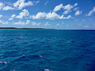 |
| View S from anchorage |
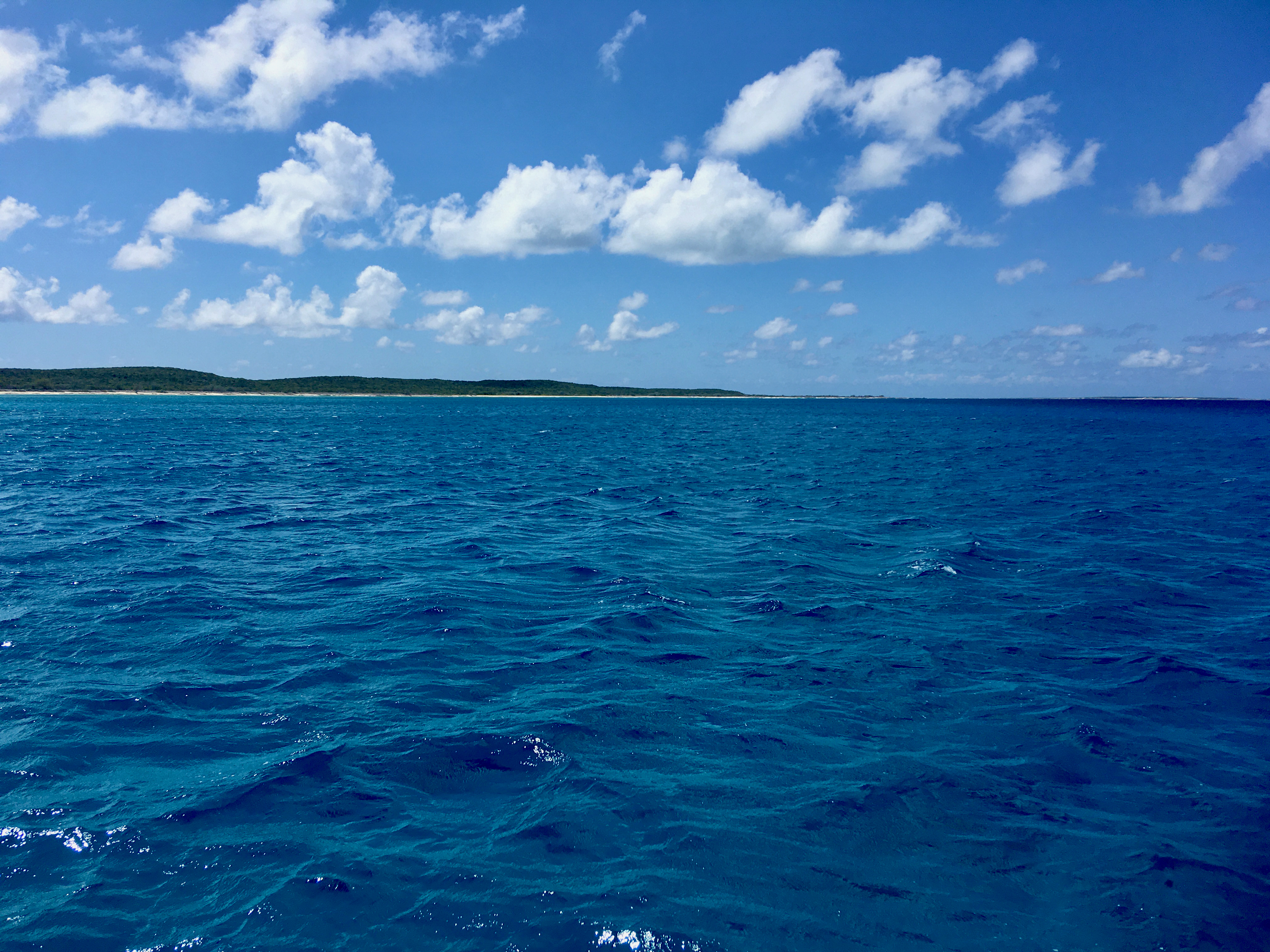
 |
| View N from anchorage |
Trust all's well where you are.
No comments:
Post a Comment